Bhopal, Mumbai, Bengaluru +91-9479473239 Email : airfluencesolutions@gmail.com
Essential drone-based solutions for infrastructure, agriculture, and smart city projects, delivering high-resolution, geographically accurate data for foundational spatial planning.
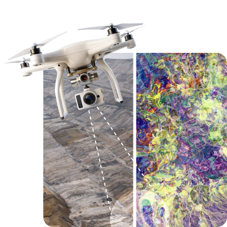
High-precision data acquisition for spatial data collection and advanced analysis, vital for complex planning where centimeter-level accuracy is mandatory.
Utilizing advanced drone-based imaging and thermal sensors to perform structural safety audits and detailed condition monitoring, reducing risks and maximizing asset uptime.
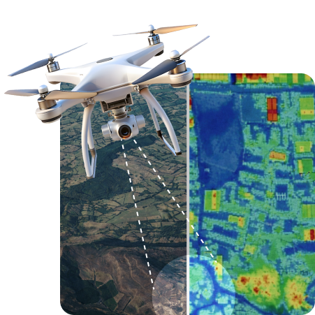
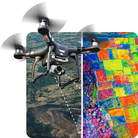
Deploying advanced sensors and analytics to support environmental teams and agricultural partners with key insights into resource management and ecological health.
Leveraging cinematic expertise to capture high-impact visual content, merging powerful documentary narrative with precise data visualization for marketing and documentation.
Where artistic vision meets technical precision
Airfluence is a next-generation drone solutions provider specializing in survey-grade aerial data for multiple industries.
We deliver survey-grade aerial data using advanced drone technology, ensuring high accuracy for land, solar, and infrastructure projects.
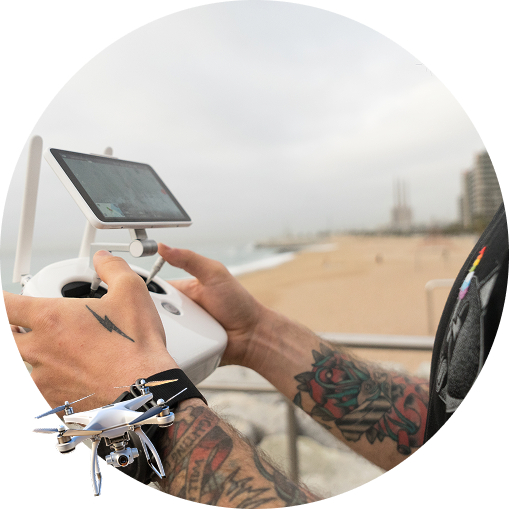
Airfluence operates with DGCA-compliant pilots and experienced survey professionals, maintaining the highest standards of safety and regulatory adherence.
Where artistic vision meets technical precision
We combine cinematic storytelling with advanced drone technology to deliver powerful visuals and survey-grade geospatial data.
Accurate DEM, DSM, and LiDAR-based outputs with actionable geospatial insights.
End-to-end drone services including mapping, inspection, surveillance, and volumetric analysis.
DGCA-compliant operations with licensed pilots, ensuring full regulatory adherence.
Drone, AI, and 3D analytics that transform data into real-world solutions.
Deliverables compatible with Esri ArcGIS and other GIS platforms for seamless integration.
We deliver accurate, actionable aerial data that helps organizations make faster and smarter decisions. Our focus is not just flying drones, but transforming captured data into real-world results.
With advanced UAV platforms capable of up to 2.5 miles operational range, we cover large project areas efficiently—matching the performance of premium survey-grade drones.
This section highlights the seamless process from flight planning to final, actionable insights, detailing the technical components involved in generating high-precision geospatial deliverables.
The process begins with advanced mission design, setting parameters for accuracy and overlap (e.g., RGB Stereo Double Grid Mode with 80% forward and 70% side overlap). We ensure comprehensive preparation, including checking terrain, obstacles, and weather. All missions are executed with strict adherence to DGCA rules and permissions.
We capture raw aerial data using high-resolution cameras and specialized sensors (LiDAR, thermal, multispectral). The resulting data sets are often large and complex ("big data"), providing centimeter-level detail for accurate measurements.
Raw images and point clouds are processed to generate 3D spatial data. This process utilizes advanced photogrammetric techniques and specialized tools like Agisoft Metashape. This step transforms multiple images into seamless, georeferenced outputs.
We produce the essential deliverables required for engineering and analysis: Orthomosaic maps (seamless 2D imagery), dense Point Clouds, and authoritative digital terrain models (DEM, DTM, and DSM). We also perform mandatory Feature Extraction to create GIS-ready vector layers of natural and man-made elements.
The processed data is converted into actionable intelligence and delivered in GIS-compatible formats (SHP/GeoJSON). These outputs are ready for integration with client systems, connecting workflows to leading platforms like Esri ArcGIS for survey and GIS analysis.